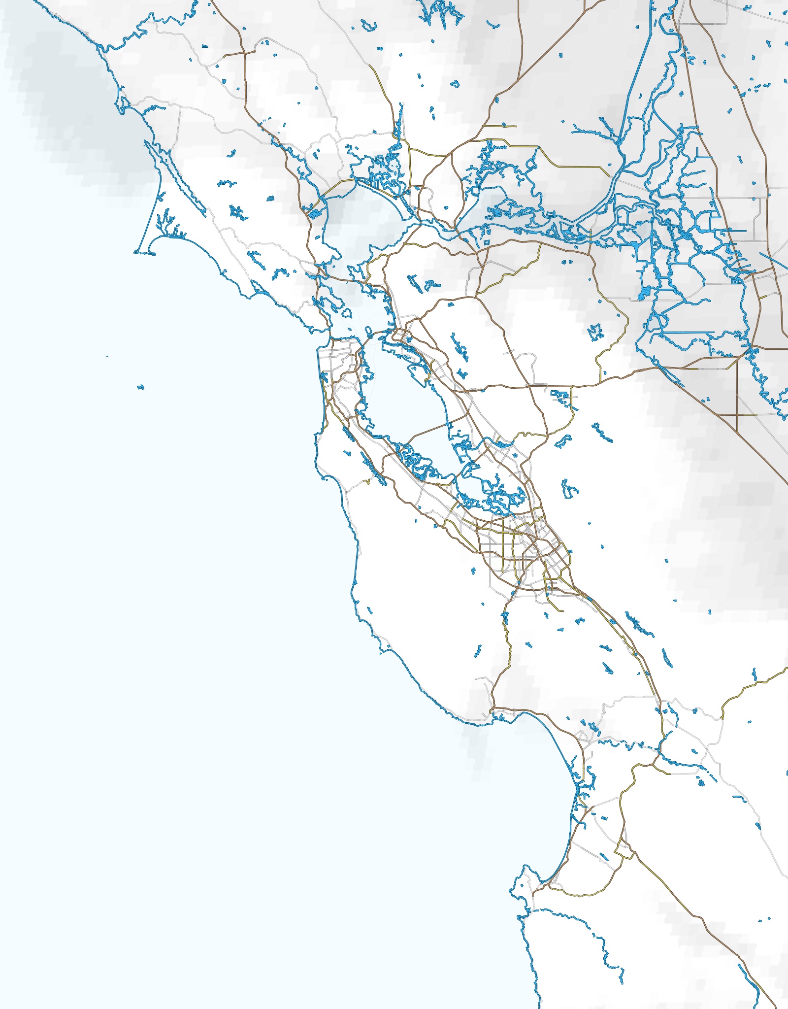
Mussel Rock WX
Theme
Dark
Light
Wind
mph
kt
m/s
km/h
Temperature
°F
°C
Altitude
ft
m
Forecast
Off
On
Display
24h
Daylight
Direction
Arrows
Dots
Wind suitability
Off
On
Visibility
Hover info
Off
On
Mussel Rock WX
Wind Meters
Web Cams
Forecast
Tide
Jet Stream
TFR's
Vallejo WX
Help & Info
Lab
Marine Layer
Crosswind Compass
WX Model Status
Tide Chart
Bay Area Fog
GOES-16 satellite — fog.today
Mussel Rock Forecast
HRRR + NDFD
mph
HRRR
mph
NDFD
Temp
T-Td
Loading HRRR and NDFD forecast...
Boundary Layer (PBL)
—
Bodega Bay Atmospheric Profiler
Inv
—
ft
Loading profiler…
Winds Aloft
—
iWindsurf
Windfinder
WindAlert
Windy
Bay Area TFR Status
No active TFRs detected.
View TFR map
×